
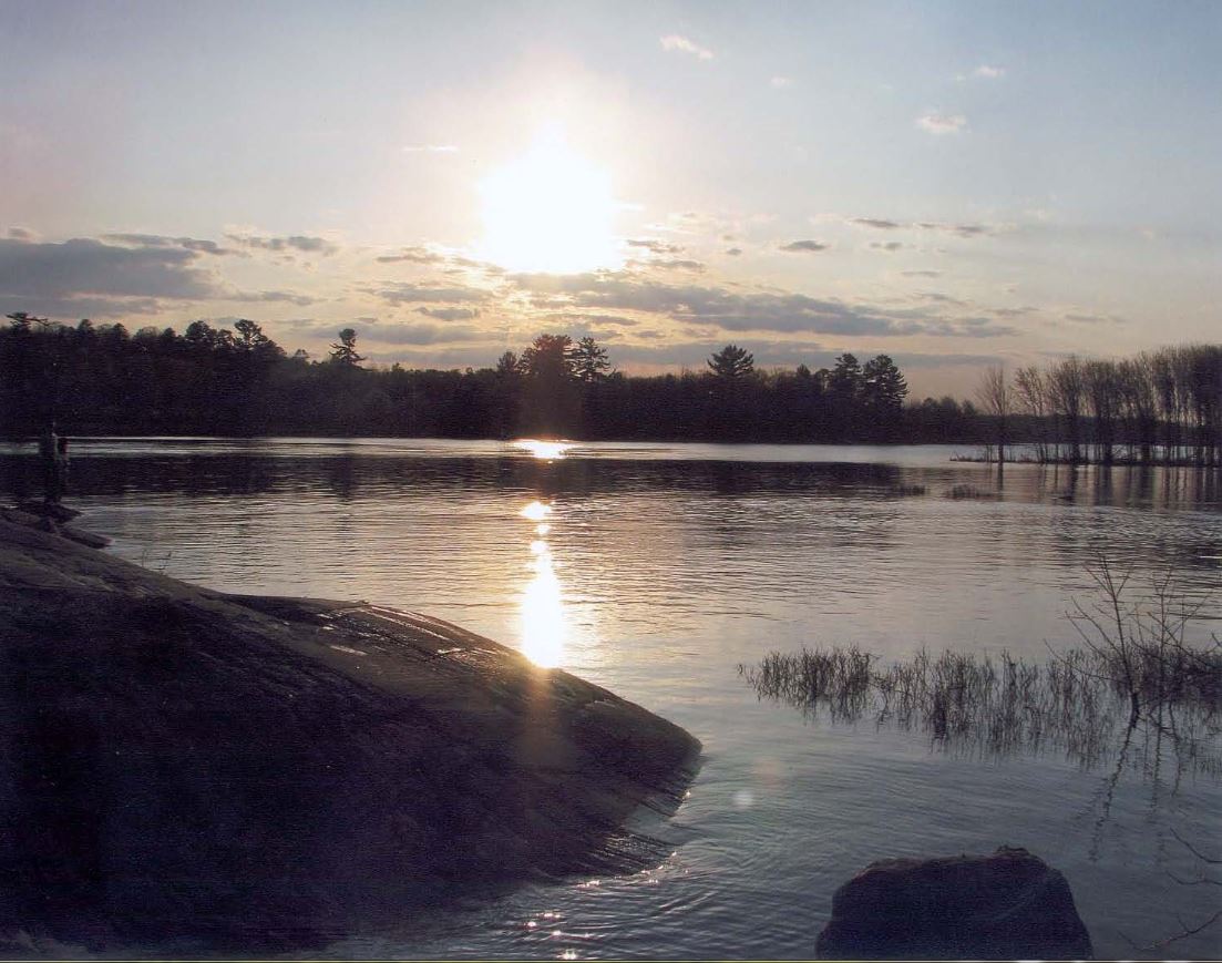
Watershed Conditions Statement - Pembroke District
The Town of Petawawa is monitoring the watershed conditions closely and the evolving situation on the Ottawa River. The Town is in communication with the Ottawa River Regulation Planning Board and the Ministry of Natural Resources and Forestry (MNRF) for river condition forecasts and flooding risks for our area. Information regarding flood forecasting and warning bulletins will be posted below as the Town receives them from the MNRF.
For more information on current flood information, locally issued flood messages and flood maps, please visit the MNRF website.
Flood Watch – May 15, 2025
The Ministry of Natural Resources – Pembroke District is advising area residents that a Flood Watch will remain in effect for areas along the Ottawa River until Wednesday, May 21, 2025 (if not updated/replaced before that date).
Residents are urged to stay informed and use caution around all water bodies. Safety notices are provided below, under "Downloads".
If you require further information on Emergency Planning for the Town of Petawawa, please contact:
Downloads
| File Name | Type | Size |
|---|---|---|
| Flood Watch, May 15, 2025 | 15.2KB | |
| Flood Warning, May 8, 2025 | 15.34KB | |
| Watershed Conditions Statement - Water Safety, May 8, 2025 | 14.46KB | |
| Guide for Flood Preparation & Recovery | 4.73MB |